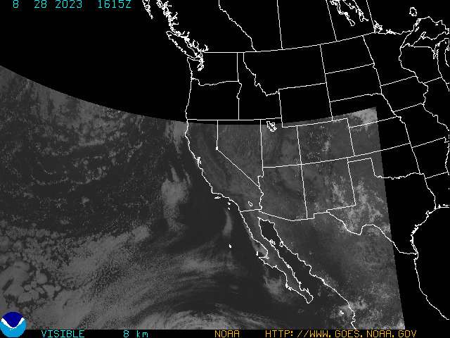
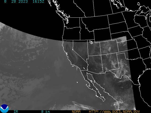
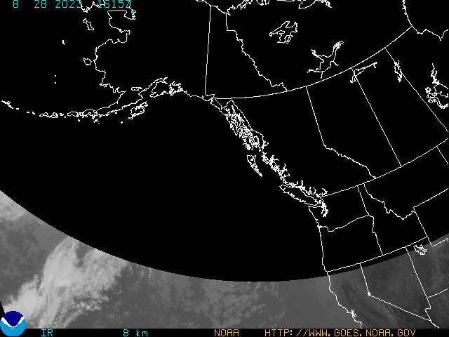
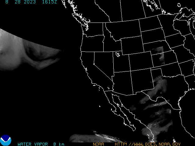
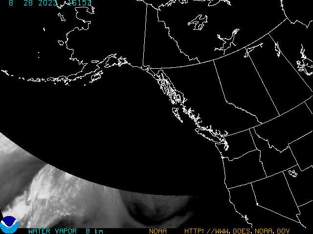
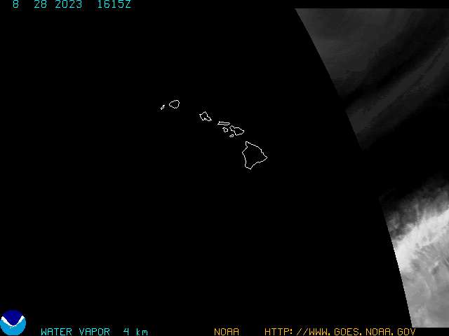
On this page, you'll find all the latest satellite imagery from the GOES-8 and GOES-10 satellites. These satellites orbit in a geostationary position twenty-two thousand miles above the earth's surface. GOES-8 focuses its images on the Eastern U.S., Atlantic Ocean, and Carribbean Sea. The GOES-10 satellite focuses its images on the Western U.S. and parts of the Pacific Ocean. These satellite images are updated every half hour at fifteen minutes and forty-five minutes past the hour. Also, you can find the water vapor imagery for each satellite and tropical imagery. Since this data is not considered "operational" by NOAA, timely updating of these images is not guaranteed. Make sure to check the time the satellite image was taken. All times are in Greenwich Mean Time (UTC).
|
|
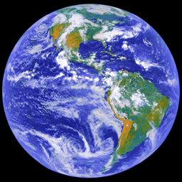
| Above: Western Hemisphere
|
|


