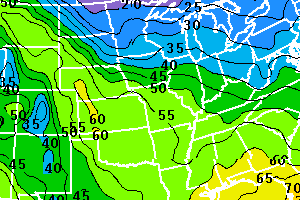
In this section, you'll find graphical representations of what the current forecast models are outputting to meteorologists. You will find all sorts of weather variables to view: from thunderstorms to the type of precipitation that is expected to fall in a particular area. All the images show the continental U.S. These images are updated once per day. The first two graphics sets, the GFS and NAM, are for 4-day forecasting. The GFSX is for 7-day extended forecasting. You find the image dates in Greenwich Mean Time (UTC).
|
|
| Above: GFSX Maximum Temperatures
|
|