In this section, you will find many of the upper air images that Meteorologists use to make detailed forecasts. These images come from Unisys. In addition, you will find various indicies that a meteorologist could use to aid in the forecasting. When you see "MB" listed for a particular plot, it stands for millibars. If you don't know exactly what a millibar is, click here for a definition. Each plot shows a different level of the atmosphere. There are several sounding data sets available, including skew-T diagrams, hodographs, and stuve.
|
|
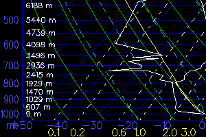
| Above: Skew-T Diagram
|
|


